Wall and Settlement Resistance Commission: Four Israeli Military Orders Target Bethlehem Lands With Seizure and Tree Removal
Four Israeli military orders target Bethlehem lands with seizure and tree removal, in a new escalation within the policy of appropriating Palestinian land.

The Wall and Settlement Resistance Commission said that the occupation authorities issued four military orders, dated October 28, 2026, comprising the seizure of 4.708 dunums (4 dunums and 708 square meters) of land in Al-Khader and Arab al-Ta'mara, and the removal of trees and vegetation cover from 10.085 dunums (10 dunums and 85 square meters) of land in Nahalin in the Bethlehem governorate.
The commission explained that the orders combine subjecting routes and sites to direct military possession with imposing tree removal around settlements, revealing the use of military and security powers to reshape the use of Palestinian land.
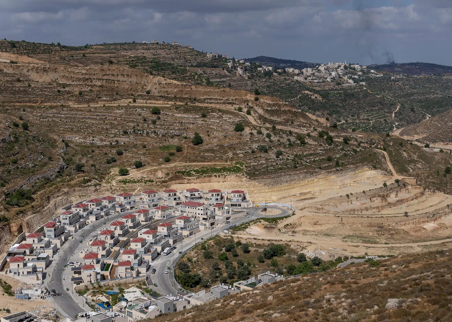
The commission stated that seizure order No. 147/26 targets 4.408 dunums of land in the town of Al-Khader, within basins 7, 9 and 10, along a route 878 meters long around the "Efrat" settlement, and is linked to a project to build a tower in the area. The map shows the route extending across land with agricultural terraces, bringing a strip of this land under military possession. The commission believes that the route's extension within the agricultural area gives the order an impact connected to its location and its relationship to the surrounding land, in addition to the specific area of seizure defined in it.
As for seizure order No. 164/26, it targets 0.3 dunums, or 300 square meters, of land in Arab al-Ta'mara, in basin No. 2, at the Harmala and Ghazlan sites, around the "Tequa" settlement. The order concerns the modification of the boundaries of security components, and its map shows small, scattered sites, reflecting the targeting of specific points to serve the security infrastructure around the settlement. The two seizure orders remain in effect until December 31, 2028, and grant the occupation authorities exclusive possession of the areas specified in them during their period of validity.
In Nahalin, security measures order No. 101/26 targets an area of 0.968 dunums in basin No. 4, the Tur al-Batiya site, around the "Nve Daniel" settlement, and stipulates the removal of pine trees and random vegetation. Order No. 140/26 targets an area of 9.117 dunums in basins 7 and 8, at the Khirbet Beit Sakariya and Beit Sakariya sites, near the "Rosh Tzurim" settlement, and stipulates the removal of olive and almond trees and random vegetation. The two maps show longitudinal strips along roads and cultivated land, and the scope of the second order lies alongside a residential cluster and agricultural fields in Beit Sakariya, threatening productive trees and the foundations for the continued agricultural use of the land.
The commission noted that the two removal orders require landowners or those disposing of the land to carry out the removal within seven days of the scheduled tour with them, and allow it to be carried out by bodies authorized by the commander of the occupation forces if the landowners do not do so within the deadline. At the same time, they set seven days from the tour for submitting objections, so the objection deadline coincides with the deadline imposed for removing the trees. This places landowners under direct time pressure, while the impact of removing fruit-bearing trees extends to the loss of a productive resource whose compensation requires years of cultivation and care.
The commission affirmed that the convergence of these orders in the Bethlehem governorate shows the multiplicity of military intervention tools in the lands surrounding the "Efrat," "Tequa," "Nve Daniel" and "Rosh Tzurim" settlements. The extended route in Al-Khader's lands, the scattered security sites in Arab al-Ta'mara's lands, and the tree-removal strips in Nahalin impose military and security uses and requirements within the Palestinian space. The commission believes that assessing the effects of these orders requires linking their official areas to their function, location and impact on agriculture and land use, given the cumulative changes they cause in Palestinians' relationship with their land.